Project Design Support
Mapping data utilization

- Landslide hazard analysis and area identification using AI (deep learning)
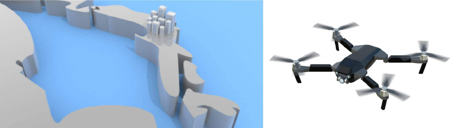
- 3D city block modeling
- Modeling of river flooding, improvement, and presentation of improvement effects
- Modeling the impact of land subsidence on flooding
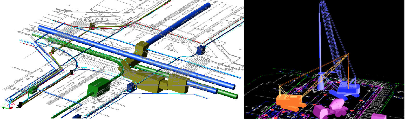
BIM /CIM modeling creation and conversion
We supportBIM/CIM、i-construction、and DX in the infrastructure fieldwhich is being fully introduced by the MLIT.
- -Creation of sewer culvert data using PDP
- Conversion of water/sewer pipeline ledgers (GIS) to CAD drawings
- Creation of 3D structures using AutoCAD Revit
- Creation of 3D structures using Autodesk BIM360, etc.
Drone data creation
- Creation of 3D CAD data based on photographed terrain information
- Creation of 3D models of cityscapes based on point cloud data and video images